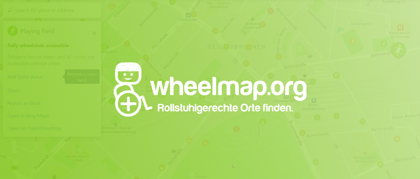
Wheelmap.org
Wheelmap is an online, worldwide map for wheelchair accessible places.
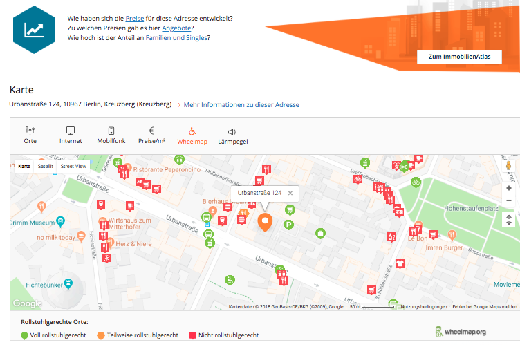
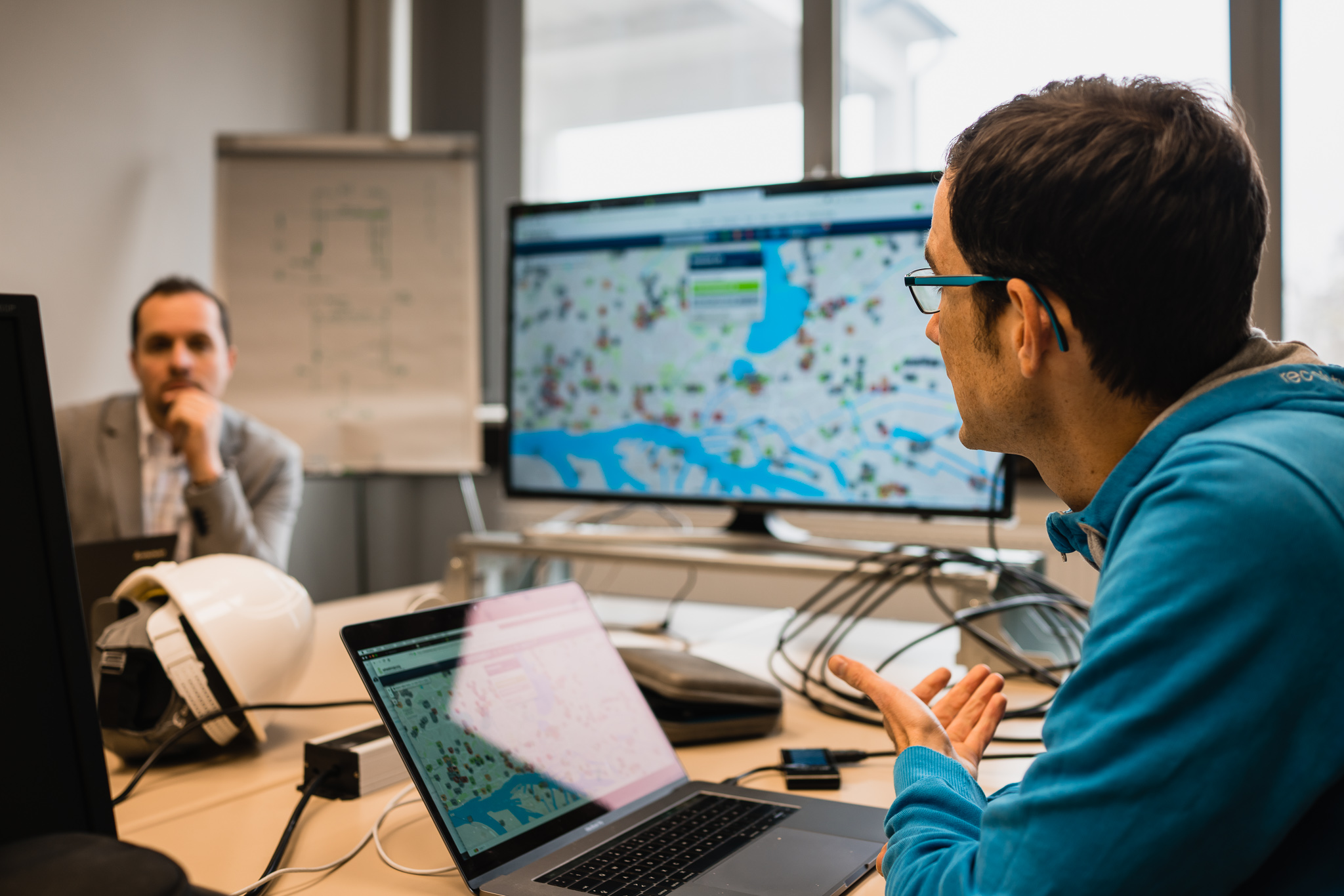
Anyone can find and add public places to the map and rate them according to a simple traffic light system. The map was created in 2010 to help people who use wheelchairs or wheeled walkers to plan their days more easily. Parents pushing a baby carriage can also benefit from the Wheelmap.org information. Currently there are 1.5 million cafés, libraries, swimming pools and many other public places on the map. The root of Wheelmap is the geodata of OpenStreetMap, a worldwide map with a large community that provides open data under a free license. Another 1.7 million locations are added via external data sources from the accessibility cloud project.
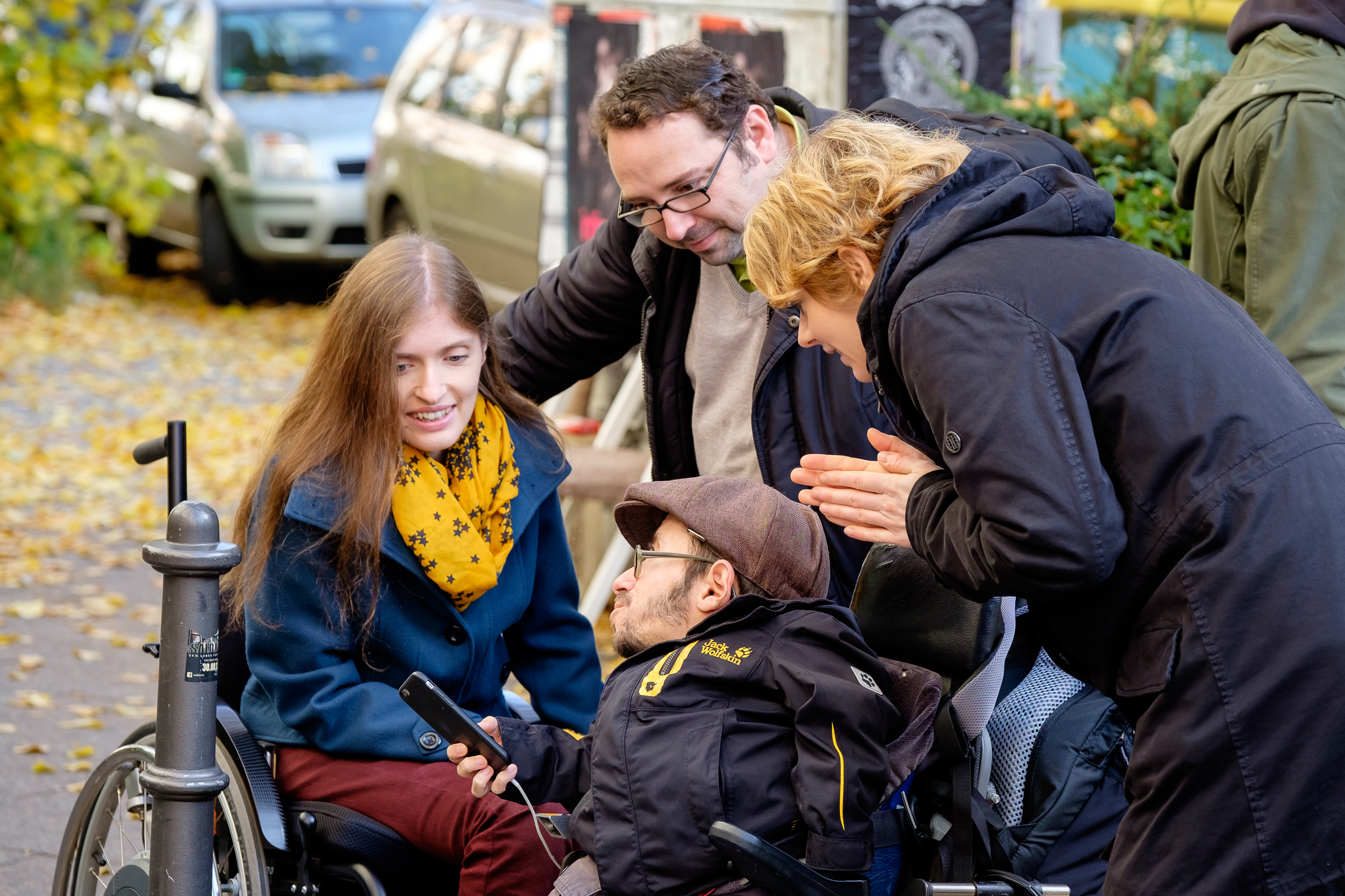
Wheelmap lives through the committment of its community, single users and groups organizing mapping events. Like this, about 300 new places are added on a daily basis. Wheelmap is available in the browser and as an app for iPhone, Android and Windows Phone, making it easy to use the map on the road.
When elevators at train and subway stations don’t work this presents a big problem for people who use wheelchairs or walking aids, as well as for parents with baby carriages and travelers with heavy luggage. For all of them it is vital to know in advance if the elevator that they are planning to use at the station is working. Of course, given the complexity of elevators, they are bound to malfunction occasionally. And vandalism also plays its part.
In order to make daily life easier for everyone who relies on elevators, we created our latest project, BrokenLifts.org, with the support of the public transportation providers of Berlin and Brandenburg (VBB) and in cooperation with the agency .HENKELHIEDL. An easy to use and attractive online tool keeps travelers informed as to which elevators are not functioning and which ones are back in service within the public transportation system of Berlin.
The latest information on the state of elevator repair is retrieved every 15 minutes from the data provided by the public transportation operators, is then analyzed and merged.
Offizieller Förderer

Unterstützer

Angebote
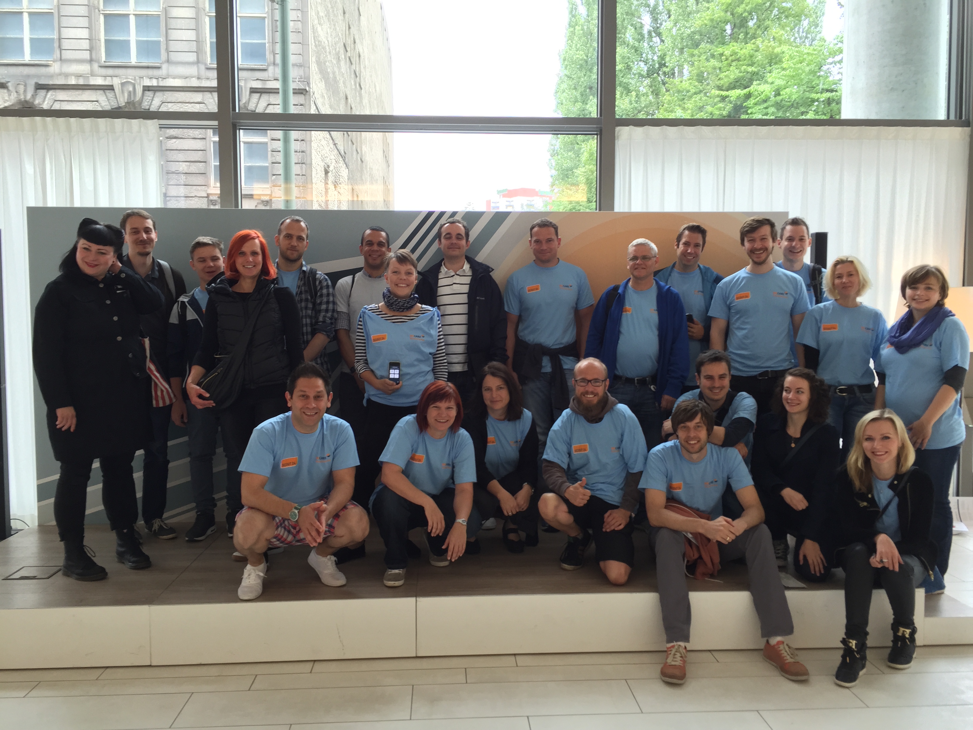
Mapping-Aktionen
Wir unterstützen alle, die eine Mapping-Aktion organisieren wollen mit unseren Tipps und Empfehlungen für die Planung und Durchführung ihrer Mapping-Tour mit Wheelmap.org und bieten Support und Material.
Social Days
Für Unternehmen bieten wir ein Workshop-Format an, um vor Ort Mitarbeiter für das Thema Behinderung und Barrieren zu sensibilisieren und in die Hintergründe und Bedienung der Wheelmap einzuführen. Teambuilding garantiert!
Daten-Einbindung
Die Wheelmap ist ein Open-Source-Projekt, d.h. die Daten können von allen kostenfrei über eine API/ technische Schnittstelle kostenfrei genutzt werden. Bei speziellen Anforderungen stehen wir mit unserem technischem Know-how zur Seite.
App-Lösungen
Auf Grundlage unserer Wheelmap-Erfahrungen und mit Hilfe der technischen Infrastruktur der Accessibility-Cloud können wir weitere Apps zum Mapping zur Verfügung stellen – je nach Bedarf und mit einem eigenen Branding.