Wheelmap for your Region
The map for accessible places in your region – with individualized criteria and customized branding
Wheelmap for your region
.How can cities and towns make their regions more accessible with simple methods and thereby make it easier for people with disabilities to plan their daily lives? The answer: technology and citizen engagement.
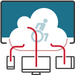
That is why we developed the OpenStreetMap-based Wheelmap in 2010 using a crowd-sourcing approach. With nearly 2 million rated locations, the Wheelmap is currently the world’s most comprehensive map specifically for accessible places. Everybody can help out and rate public places according to their accessibility.
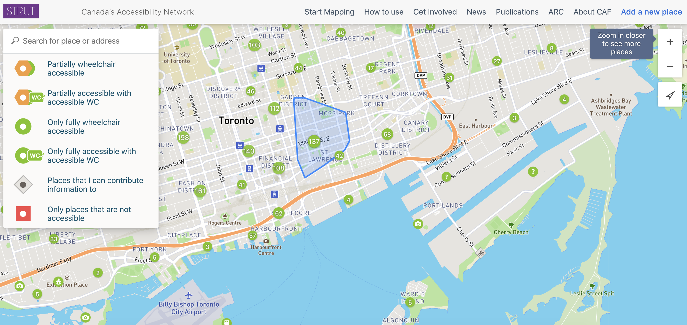
It is now possible for cities and towns to use their own, customized version of the Wheelmap, with their own logo and name. A list of more than 150 accessibility criteria (i.e. wheelchair accessibility, menus in Braille, etc.) can be chosen from, thereby making it possible to tailor the map specifically to your region’s needs. Using a widget, the map can also be embedded into city and tourism websites. Give your residents and visiting tourists a chance to get involved in order to improve the accessibility of your hometown.
Examples
In 2018 the Canadian Abilities Foundation (CAF) introduced the app STRUT, which uses our Wheelmap technology with the CAF branding and design. It includes a customized, detailed list of questions corresponding to their own local accessibility requirements.
UN Flagship Report on Disability and Development
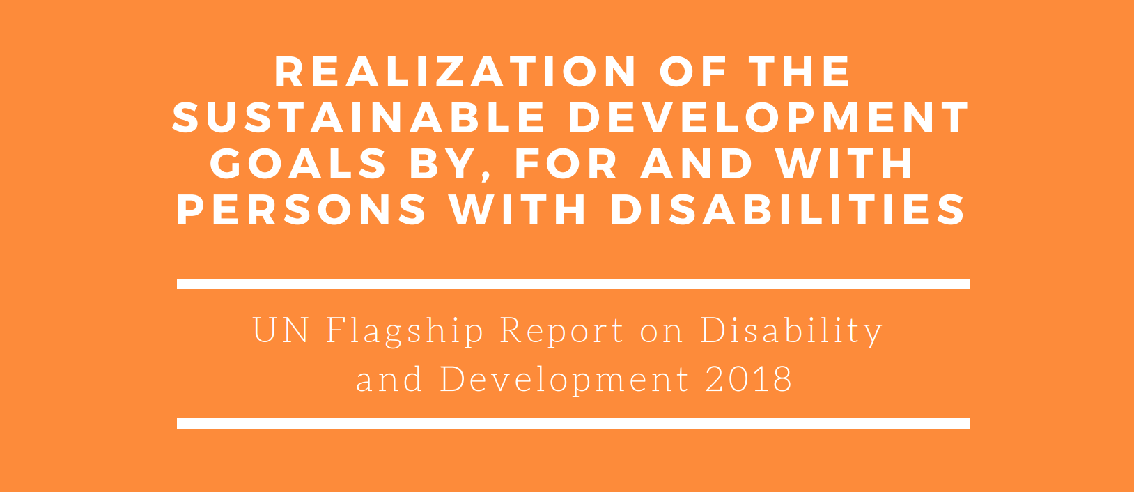
UN Flagship Report on Disability and Development
As part of the Agenda 2030 we supported the United Nations (UN) in the creation of their first comprehensive report on the current situation and developments in the worldwide living situation of people with disabilities. We provided the UN with data from the Wheelmap as a basis for the data included in the report.
places rated on their accessibility worldwide
- Of those, percentage that is not at all, or only partially, wheelchair accessible: 67%
Our other solutions
Preparation, Execution and Evaluation of Mapping Events for rating the accessibility of places.

Portable ramps to easily bridge one or two steps, without any structural changes being necessary.

Real-time information on the operational status of elevators in train stations and public places.
Standardized accessibility information on public places brought together on one platform.

Conceptual advice, booking of models with a disability, production of inclusive photos und a photo database.